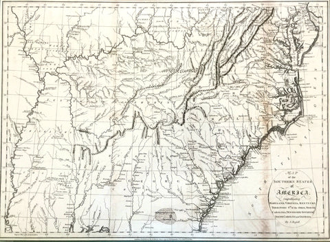
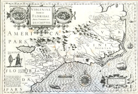
A New Description of Carolina
John Speed
From
A Prospect of the most Famous Parts of the World1676
London
Copperplate engraving
One of the most attractive and desirable maps of the Carolinas, this map was based largely on the famed Ogilby-Moxon map of 1672 and on John Lederer’s second expedition to the region. Points of interest include a long narrow savanna in the Piedmont area, the placing of a great lake (Ashley Lake) and a great desert (a sandhill region). Once regarded as “cartographic curiosities,” these notations which came directly from John Lederer’s writings were questioned during his lifetime and into the next century. It was often assumed his writings were based on Indian myth, but years later scholars determined that his writings were indeed based on fact.
Notice along the coast, Edista is today’s Edisto Island, Charles Town, though slightly displaced from its present location, is where it was at the time. Hilton’s Head appears for the first time on a map.
John Speed is the most famous of all English cartographers and is responsible for creating the first world atlas by an Englishman, from which this map of Carolina came. Lederer’s account of his journey is engraved on the verso.
reproduced from The Mapmaker’s Art: The Bishop Collection of Antique Maps from the permanent collection of the Franklin G. Burroughs-Simeon B. Chapin Art Museum
printed by 803 Labs, Inc.
*Pricing Does Not Include Shipping | Call the Museum for Shipping Cost